
TIWN
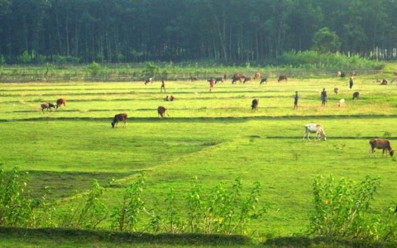
Belonia, Oct 11 (TIWN): The Indo-Bangla Joint survey Commission fixed few wooden pillars in January 2014 keeping the local administration in dark. If the Joint Survey Commission’s demarcated recommendation follows, around 66 acres of "Jote" land will fall under Bangldeshi Side .22 Acres have already went to Bangladesh Side earlier.
17 indian farmers have already sent their demand to State Government and Ministry of Home Affairs(MHA) New Delhi.
According to those farmers, middle of Muhuri Chor was identified as Indo-Bangla Border following Indira-Mujib Aggreement 1972.Another agreement was also signed between the then Prime Minister Manmohan Singh & Bangladesh PM Shaikh hasina to find the solution of dispute land. But the problem remains as it was earlier.
District Magistrate Dr. Debasish Basu discussed this complex situation of Muhuri Dispute with visiting Indian Dy High Commissioner Sandip Chakraborty.Heinstructed to SDM Belonia Brahimmeet Kaur to collect both revenue map and survey map of Muhuri Char for fresh survey again. Indian Dy High Commissioner also visited land custom offices of Belonia.
Later on Indian Dy High Commissioner Sandip Chakraborty visited Border Haat area of Srinagar and Feni Bridge construction area of Sabroom.
.JPG)
Dy Indian High Commissoner to Bangladesh Sandeep Chakraborty entering through Akhaura Border to Tripura. File Photo
- Did You Know? Swami Vivekananda Worshipped a Muslim Girl During Kumari Puja?
- ‘Nowhere in Court’s Rule our Recruitments have been Stayed’ : TET-1 Agitating Candidates
- Tripura Congress MLA Sudip Barman Calls PM Modi an Illegal Prime Minister
- CPI-M Observes Bir Chandra Manu Martyrs’ Day, Remembers 1988 Political Violence
- Tripura Police Gears Up for Durga Puja 2026: 11,348 Personnel to Secure 2,905 Puja Pandals
Special Articles
 Sanjay Majumder
 Anirban Mitra
